← CSEC Geography lessons

6.4 - Weather Maps

⭐ +255 XP
  • ✓Recognise weather map features
  • ✓Identify common weather systems
  • ✓Explain satellite image types
  • ✓Use weather data for forecasts
⏱ 0 mins🎯 51 marks
💡Engage
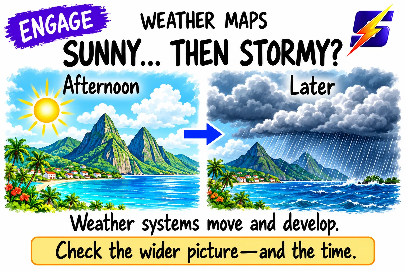
Imagine you’re in St Lucia and your phone says ‘mostly sunny’, but the evening TV forecast shows a thick cloud band moving in from the east. By midnight, thunder and heavy showers hit. What changed? The answer is in how we read weather maps and satellite images.
💡Engage
💡Engage

Write 2 things you’ve seen on a weather report map.

💡Engage

Which tool do you think shows the most recent weather, map or satellite? Explain in one sentence.

💡EngageQuestion 8 of 33

Which statement do you think best describes a synoptic chart?

0 / 1 marks
💡Engage
Imagine you’re in St Lucia and your phone says ‘mostly sunny’, but the evening TV forecast shows a thick cloud band moving in from the east. By midnight, thunder and heavy showers hit. What changed? The answer is in how we read weather maps and satellite images.
1 / 5

← swipe to move between steps →

0%
Lesson progress0 / 51 marks
✓ 0 correct✕ 0 mistakes0 / 33 answered

Let's get started, you've got this! 💪

Next: 6.5 - Hurricanes →
View all topicsNext: 6.5 - Hurricanes →