1.3 - The Caribbean Plate and Its Neighbours
⭐ +275 XP- ✓Explain that Caribbean islands are close to plate boundaries.
- ✓Identify Guyana, Suriname, and the Bahamas as geologically stable areas.
- ✓Use plate-boundary location to explain why some territories face more earthquakes and volcanoes than others.
- ✓Apply knowledge to hazard awareness and safer planning decisions in the Caribbean.
⏱ 0 mins🎯 55 marks
Engage
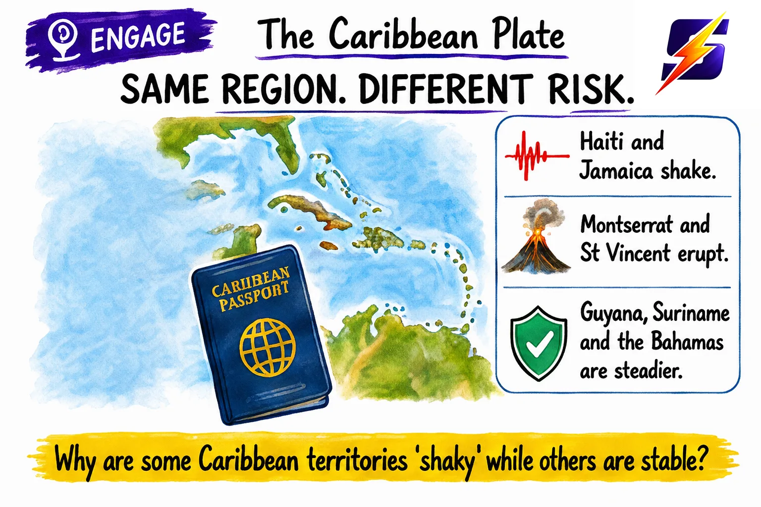
Your Caribbean passport can take you from a ‘shaky’ place to a ‘steady’ place in one flight! In Haiti and Jamaica, earthquakes are a real threat; in Montserrat and St Vincent, volcanoes can erupt. But in Guyana, Suriname, and the Bahamas, geophysical hazards are far less common. Why? Today you’ll map the Caribbean Plate like a detective and explain which places are ‘risk zones’ and which are ‘stable zones’.
1 / 7
← swipe to move between steps →
0%
Lesson progress0 / 55 marks
✓ 0 correct✕ 0 mistakes0 / 30 answered
Let's get started, you've got this! 💪